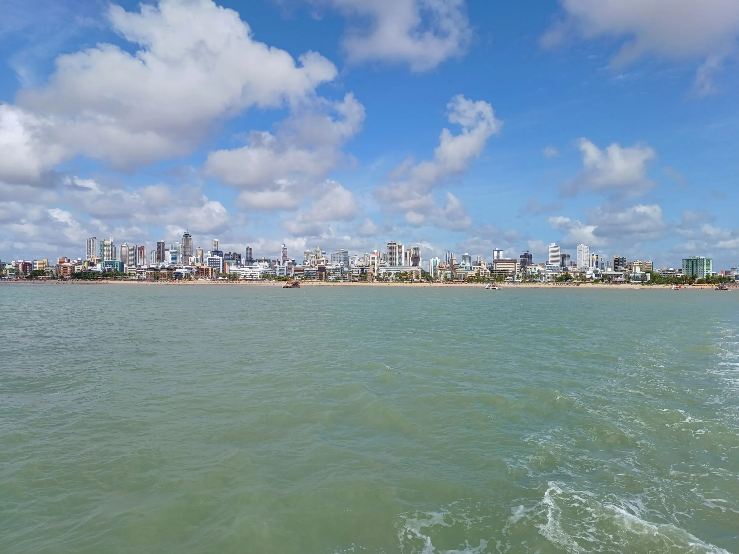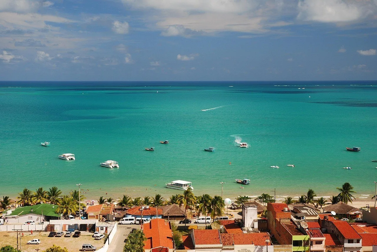
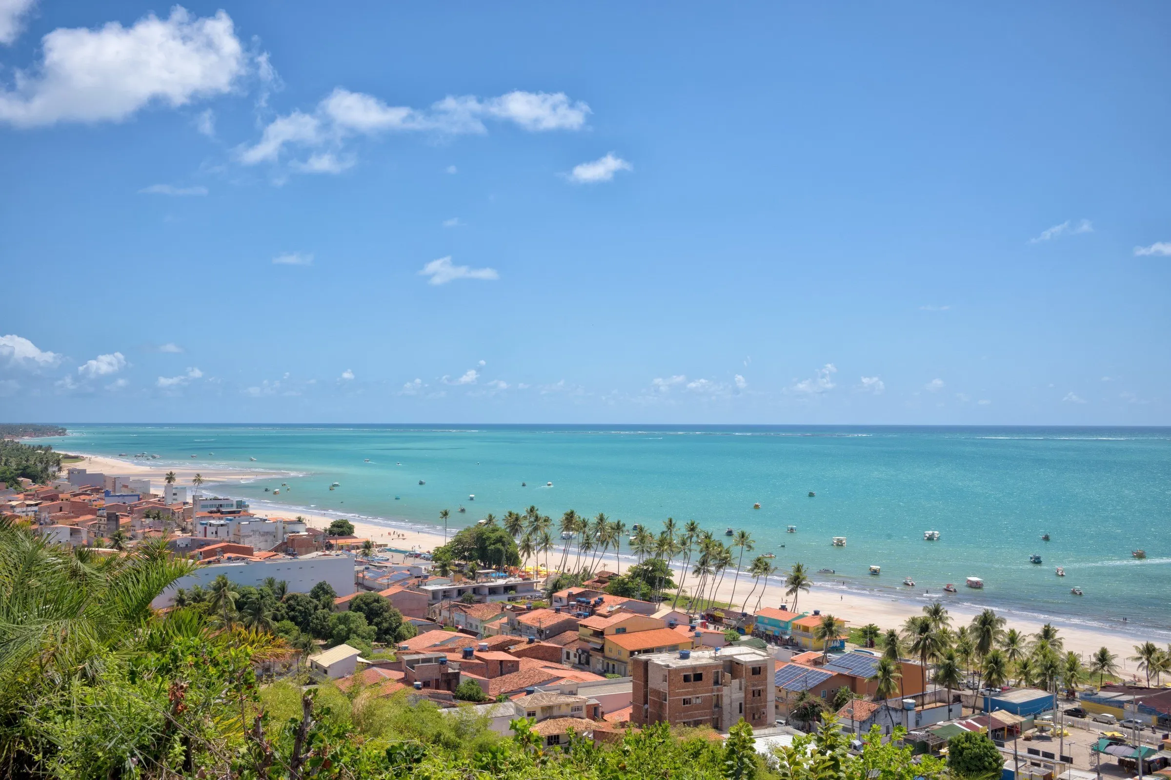
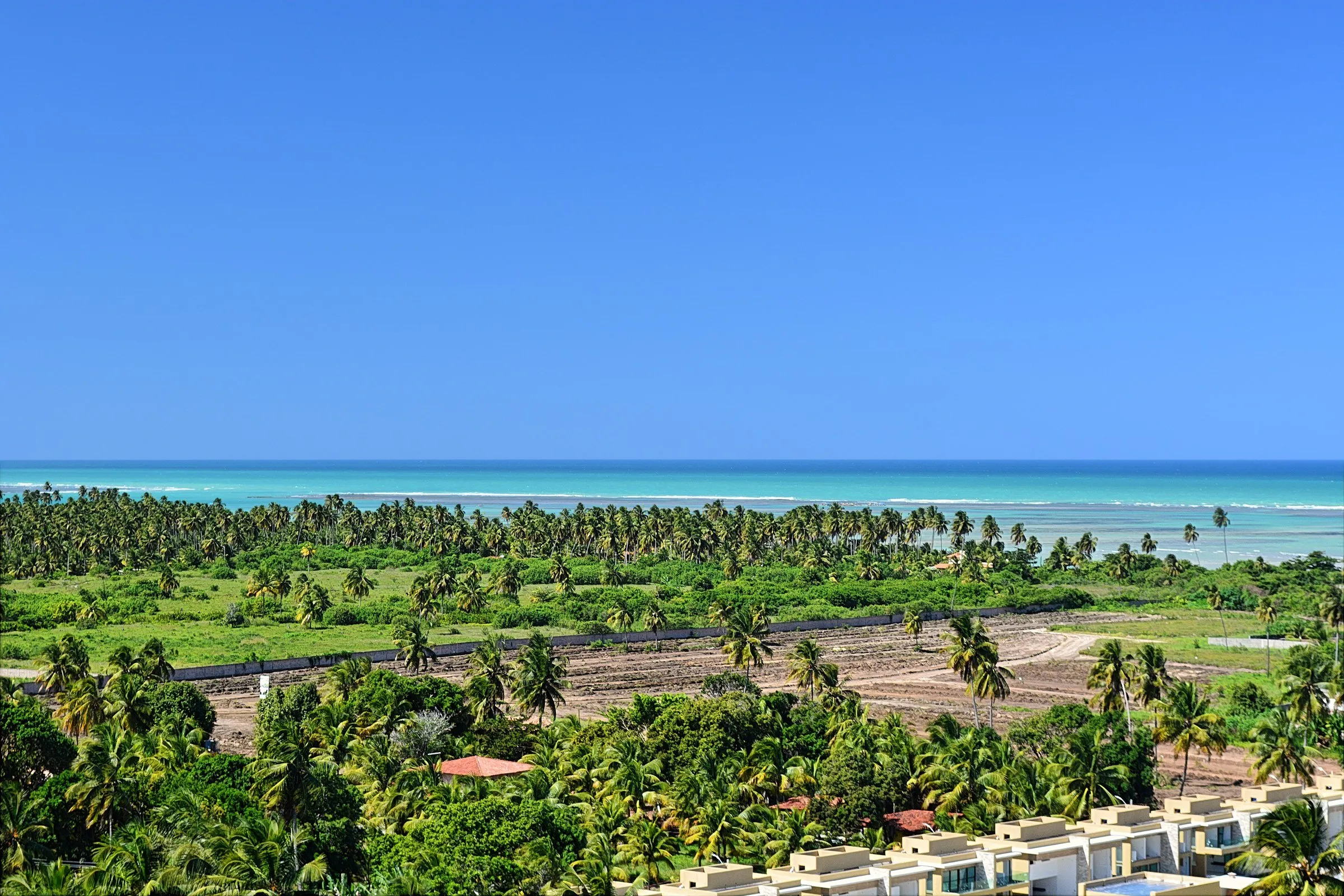
Aerial view of the Maragogi waterfront, with house roofs and palms in front of a turquoise sea with boats, under a blue sky.

Discover Maragogi

Brazil

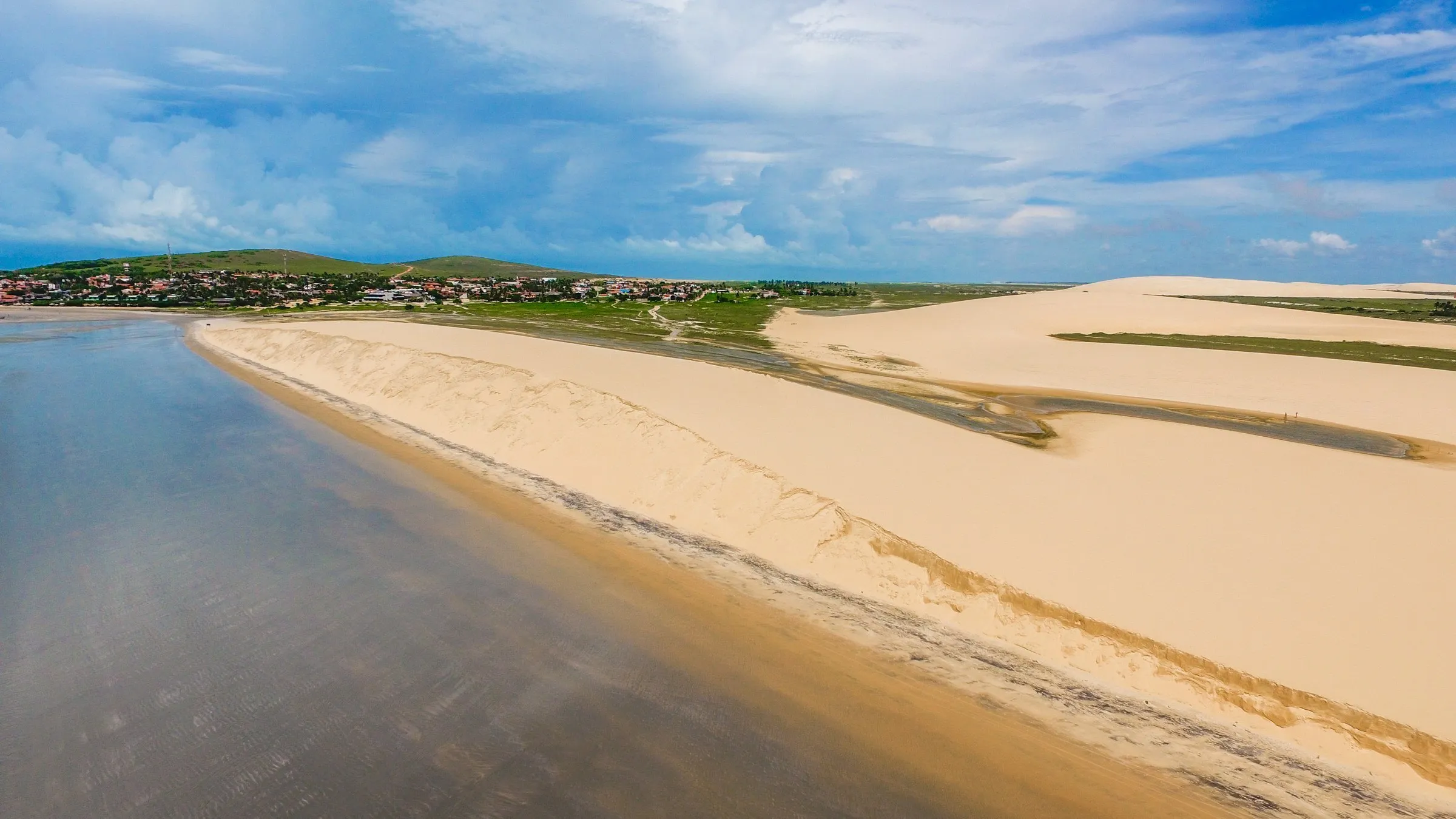
In Maragogi, the tide table sets the clock: when it reads close to zero, the sea pulls back, catamarans leave the central beach and a sandy path appears at Barra Grande.

Best time to go
September to MarchRainier: April to AugustNew moon or full moon weeks
Suggested stay
4 days based in Maragogi+2 days on the Ecological Route
Airport
Recife (REC)Maceió (MCZ)
Currency
Real (R$)
Language
Portuguese
Time zone
UTC-3

Overview

In Maragogi, the Moon makes the schedule. The natural pools, the Barra Grande sandbar and even the raft to Croa de São Bento all depend on low tide, and the first thing everyone does on arrival is open a tide table on their phone. The town sits on the north coast of Alagoas, about 125 kilometers from both Maceió and Recife, inside the Costa dos Corais Environmental Protection Area, created in 1997 and expanded in 2025 to roughly 495,000 hectares.

This guide uses Maragogi as a base and includes the surroundings that belong to the same trip. Japaratinga, just to the south, and Carneiros Beach, already in Pernambuco, work as day trips. The Ecological Route, with Patacho Beach, the manatee tour in Porto de Pedras and São Miguel dos Milagres, calls for two days and one night away, because of the ferry and the tides. The itinerary has four days based in Maragogi and two as an extension.

Maceió and Porto de Galinhas have their own guides on Roterify: the state capital is often the entry point by air, and Porto de Galinhas lies about 85 kilometers to the north, on the way for those arriving through Recife. It is worth fitting one of them in at the start or end of the trip. In the rainy season, roads get slower and the sea loses some of its clarity, another good reason to check the calendar before buying the ticket.

Did you know?

  1. Before becoming Maragogi, a name taken from the river that runs through town, the village was once called Gamela and later Isabel, in honor of the princess.

  2. The natural pools have a daily visitor limit set by the rules of the Costa dos Corais Protection Area, and each area has its own quota.

  3. Patacho Beach, in Porto de Pedras, was the first in Alagoas to receive the Blue Flag, an international seal of environmental quality for beaches.

  4. The tradition of São Miguel dos Milagres says a fisherman found a piece of wood covered in algae in the sea that, once cleaned, revealed an image of Saint Michael the Archangel.

Things to see in Maragogi

12 attractions
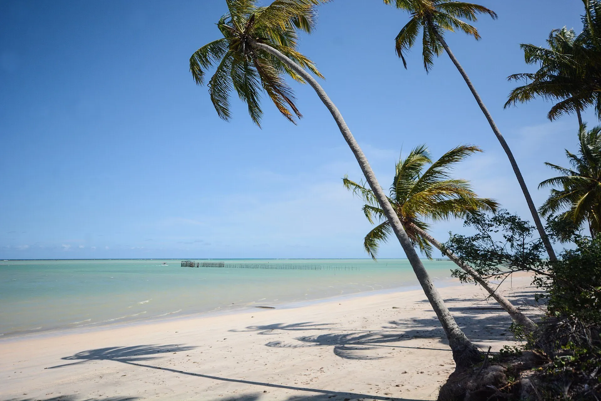
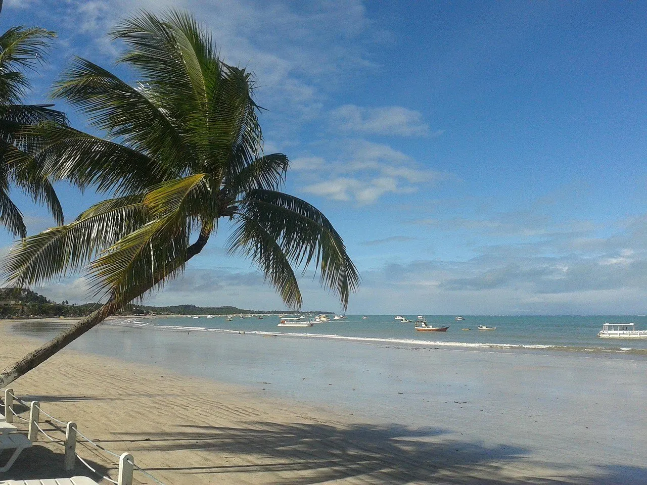
Central Maragogi beach with a leaning coconut palm over the sand, boats anchored in the distance and a blue sky.1
Beaches

Maragogi Beach (downtown waterfront)

The downtown beach, near the river that gives the town its name, is where catamarans leave for the natural pools and where the night ends with fish and ice-cold beer.

Suggested time:1 to 2 hArea:Downtown Maragogi
View details for Maragogi Beach (downtown waterfront)
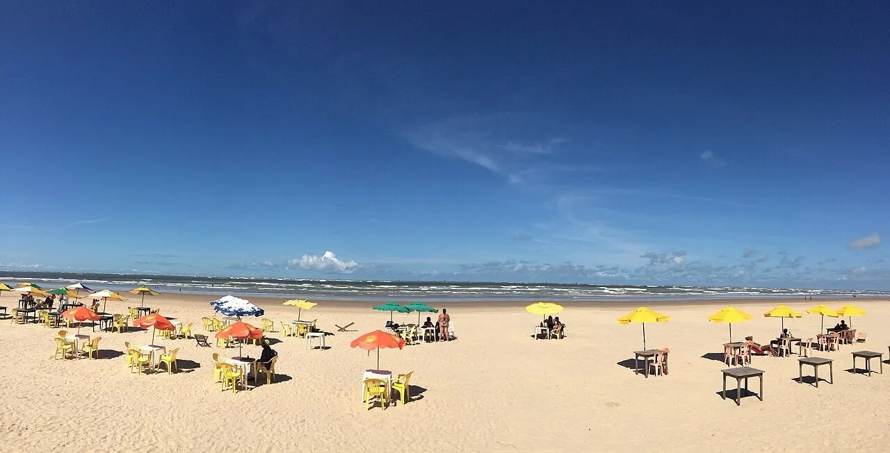
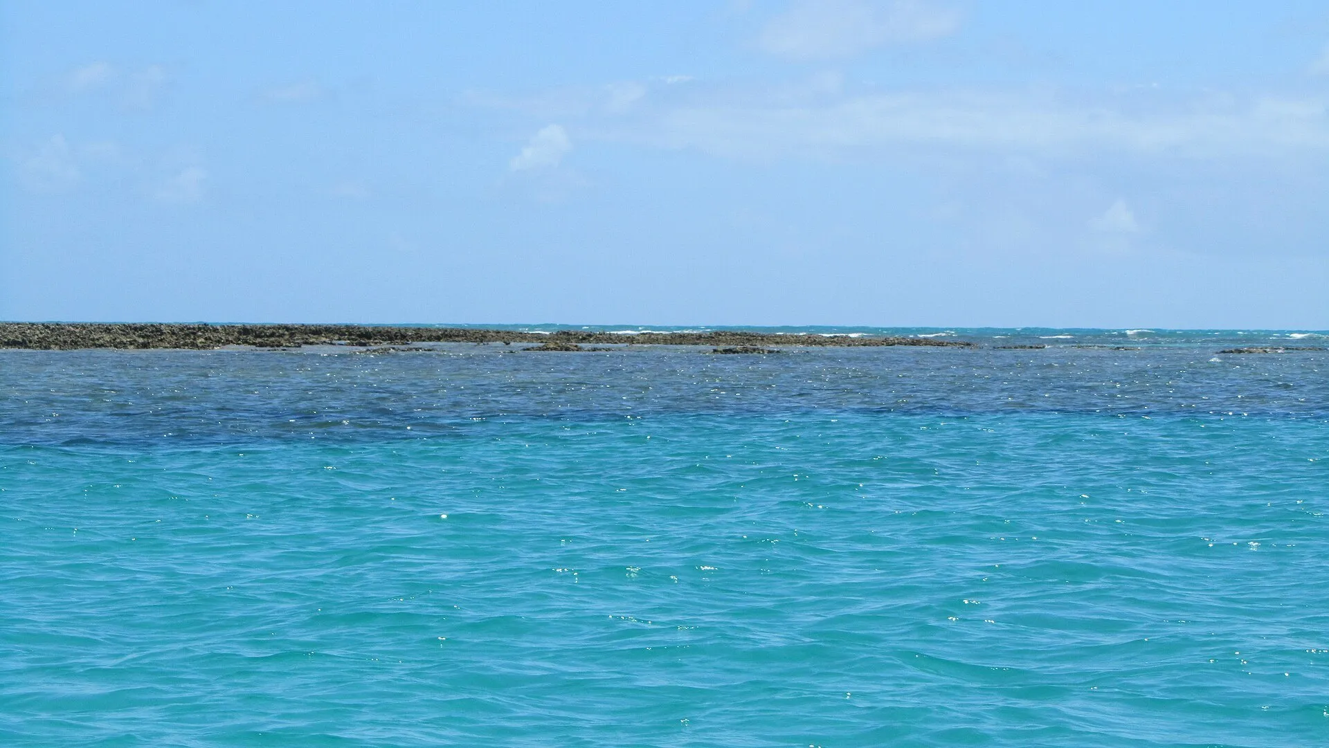
Strip of coral reef emerging in the background, with turquoise and deep blue sea ahead and pale blue sky, off Maragogi.2
Natural pools

Galés de Maragogi

Natural pools among coral reefs, about 6 km offshore, which only appear at low tide and receive a limited number of visitors per day inside the Costa dos Corais Protection Area.

Suggested time:3 to 4 h including the crossingArea:Open sea, about 6 km from the central beach
View details for Galés de Maragogi
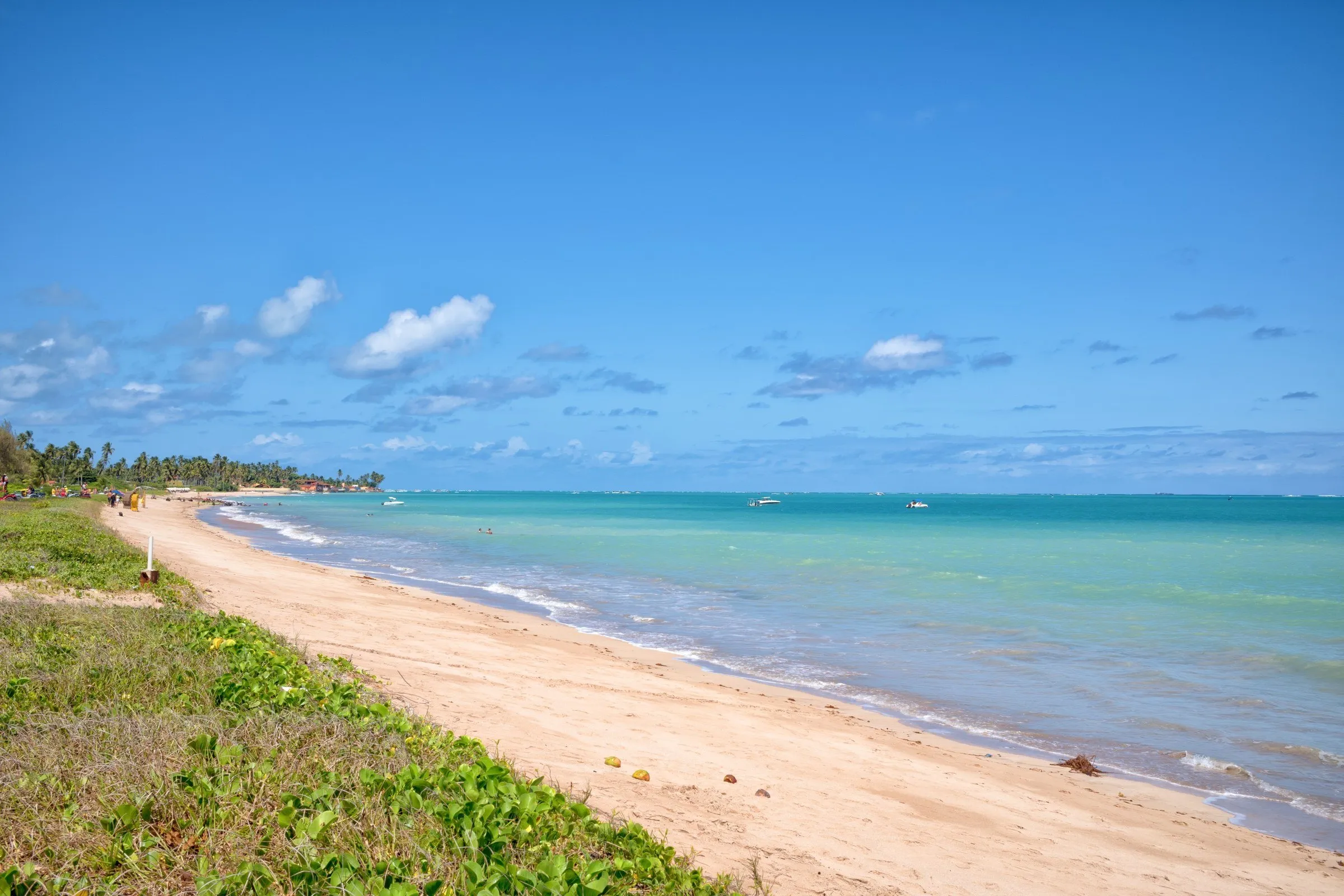
Pale sand strip at Antunes Beach, in Maragogi, with low vegetation on the left and blue-green sea under a blue sky.3
Beaches

Antunes Beach

A strip of pale sand lined with coconut palms on the north coast, between Barra Grande and Xaréu, with a sea that shifts between blue and green through the day when the wind gives a break.

Suggested time:Half a dayArea:North coast of Maragogi
View details for Antunes Beach
Elevated view of Barra Grande beach, in Maragogi, with house roofs, coconut palms, a strip of sand and turquoise sea.4
Beaches

Moses' Path (Barra Grande Beach)

A sandbar that emerges perpendicular to Barra Grande Beach at the lowest tides and stretches out to sea, letting you walk almost to the natural pools in the area.

Suggested time:2 to 3 hArea:Barra Grande, about 5 km north of downtown
View details for Moses' Path (Barra Grande Beach)
Coconut palms leaning over the white sand of Ponta de Mangue Beach, in Maragogi, with blue-green sea in the background.5
Beaches

Ponta de Mangue Beach

A palm-lined beach about 9 km from downtown, with warm, shallow water, sandbars that stretch out at low tide and far less traffic than Antunes and Barra Grande.

Suggested time:Half a dayArea:North coast, about 9 km from downtown
View details for Ponta de Mangue Beach
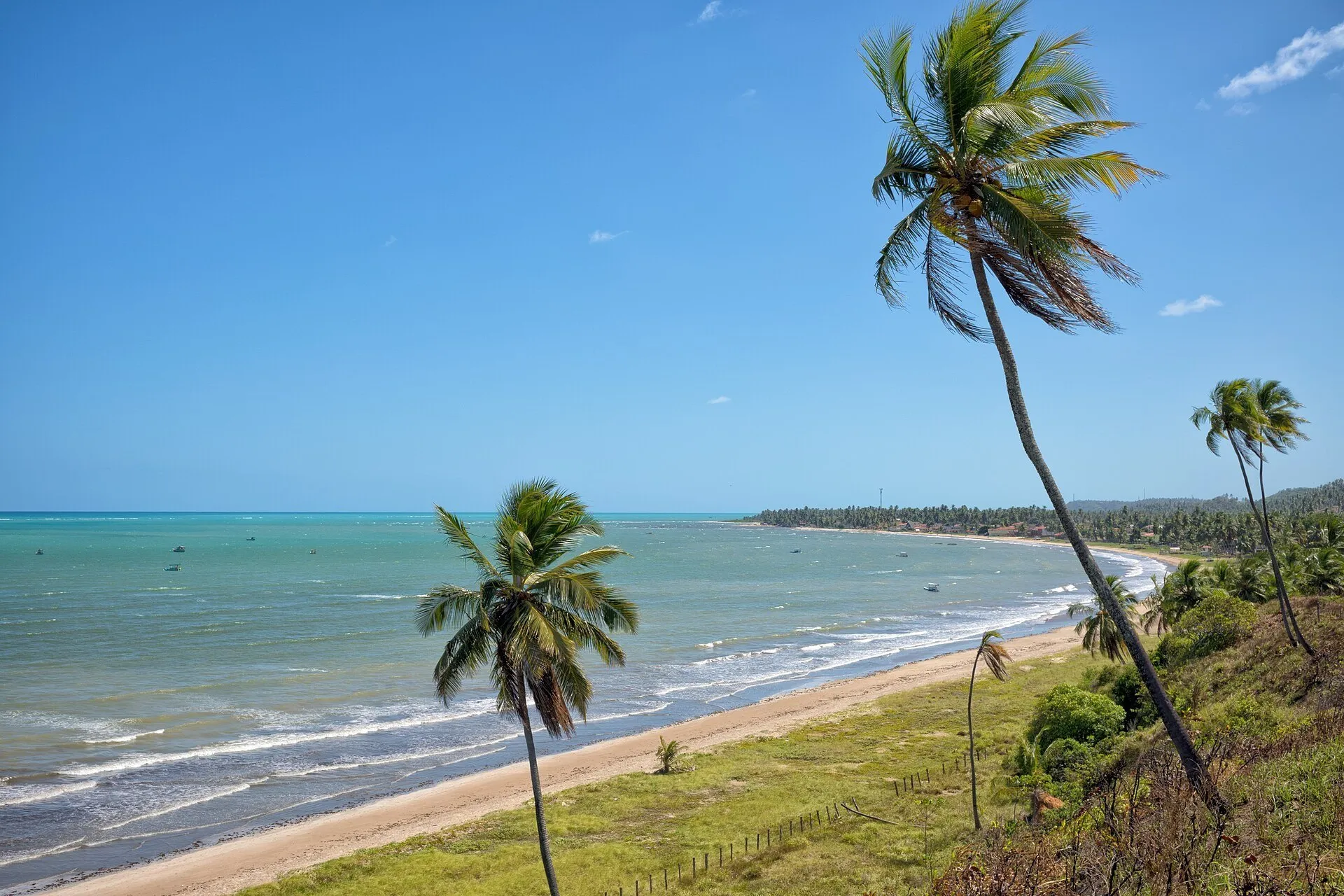
Burgalhau Beach, in Maragogi, seen from a grassy slope, with coconut palms, a curved strip of sand and blue-green sea.6
Beaches

Burgalhau Beach

A long beach of white sand and coconut palms about 3 km from downtown, with a calm, shallow sea almost free of waves, a beach club with pools and barefoot restaurants for lunch.

Suggested time:Half a dayArea:Maragogi, about 3 km from downtown
View details for Burgalhau Beach
Pale sand with coconut grove on the right and waves on the left at Carneiros Beach, in Tamandaré (PE), under a blue sky.7
Beaches

Carneiros Beach (Tamandaré, PE)

Already in Pernambuco, a bit over an hour by car: a palm-lined beach with natural pools at low tide and the little São Benedito chapel planted at the edge of the sand.

Suggested time:Full dayArea:Tamandaré, Pernambuco, about 52 km north of Maragogi
View details for Carneiros Beach (Tamandaré, PE)
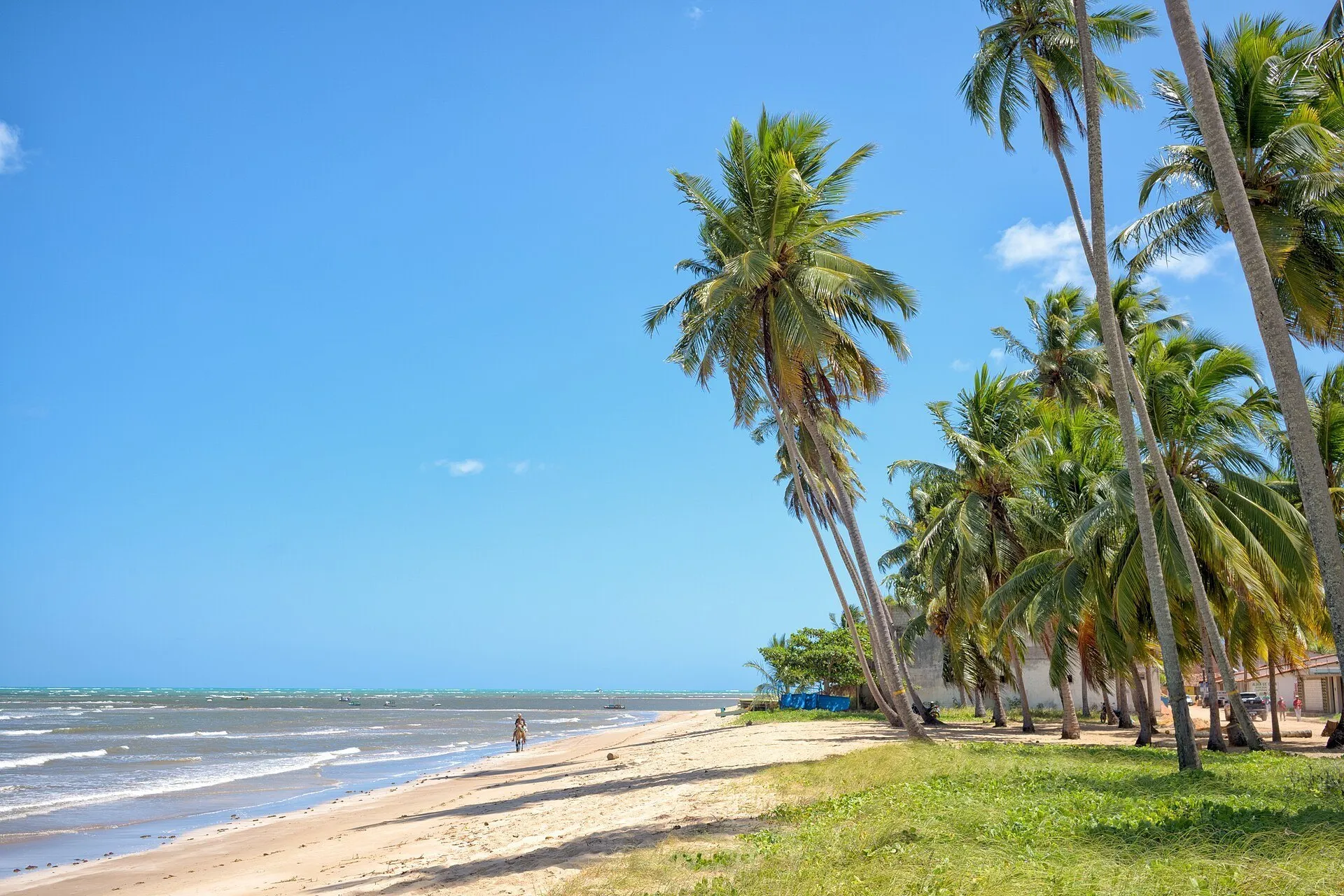
Leaning coconut palms at São Bento Beach, in Maragogi, with pale sand, a grass strip and blue sea under a clear sky.8
Beaches

São Bento Beach and the Croa

A fishing village on Maragogi's south coast, with a quiet beach and little infrastructure, where the raft leaves for the Croa, a coral islet about 2 km offshore.

Suggested time:2 to 3 hArea:South coast of Maragogi, near the border with Japaratinga
View details for São Bento Beach and the Croa
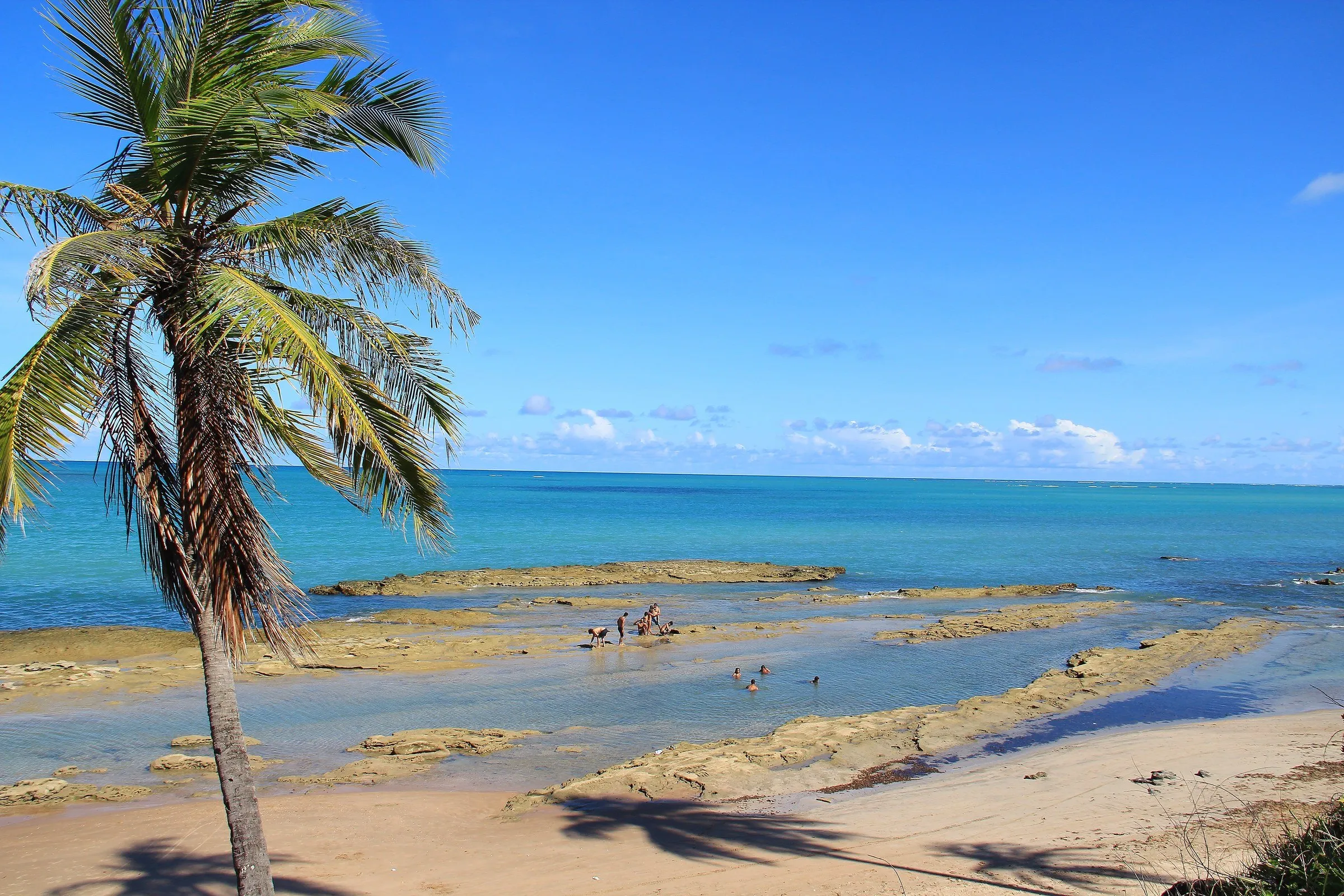
Japaratinga beach with a leaning coconut palm in the foreground, reef banks at low tide and turquoise-blue sea.9
Beaches

Japaratinga Beaches

Outside Maragogi, about 10 km south: a neighboring municipality of calm beaches and coconut palms, with freshwater springs at Barreiras do Boqueirão and the ferry to Porto de Pedras at Pontal.

Suggested time:Half a dayArea:Japaratinga, neighboring municipality, about 10 km south
View details for Japaratinga Beaches
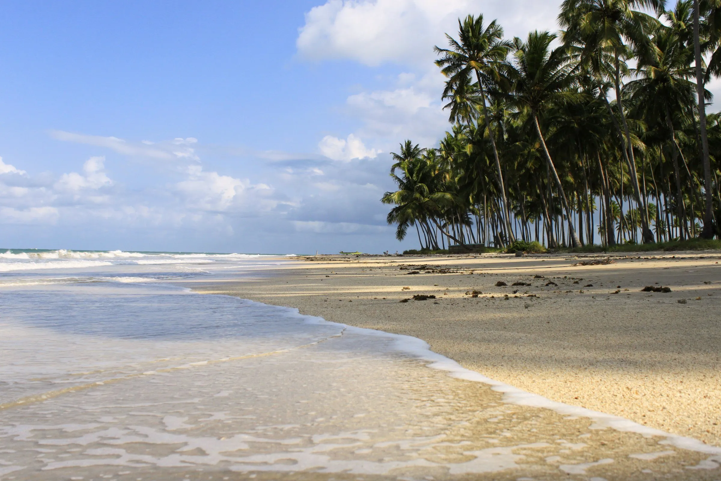
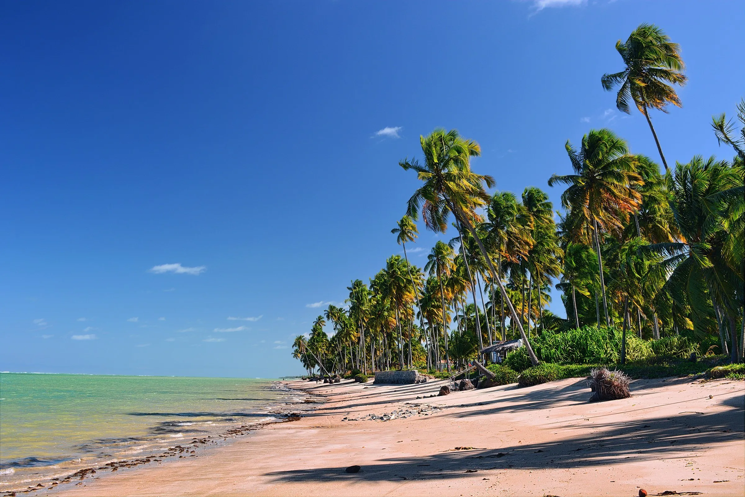
Row of coconut palms at the edge of the sand at Patacho Beach, in Porto de Pedras, with blue-green sea and deep blue sky.10
Beaches

Patacho Beach (Porto de Pedras)

In Porto de Pedras, about 25 km from Maragogi with the ferry: a long coconut grove, natural pools at low tide and the title of first beach in Alagoas with the Blue Flag.

Suggested time:Half a dayArea:Porto de Pedras, Ecological Route, about 25 km from Maragogi with the ferry
View details for Patacho Beach (Porto de Pedras)
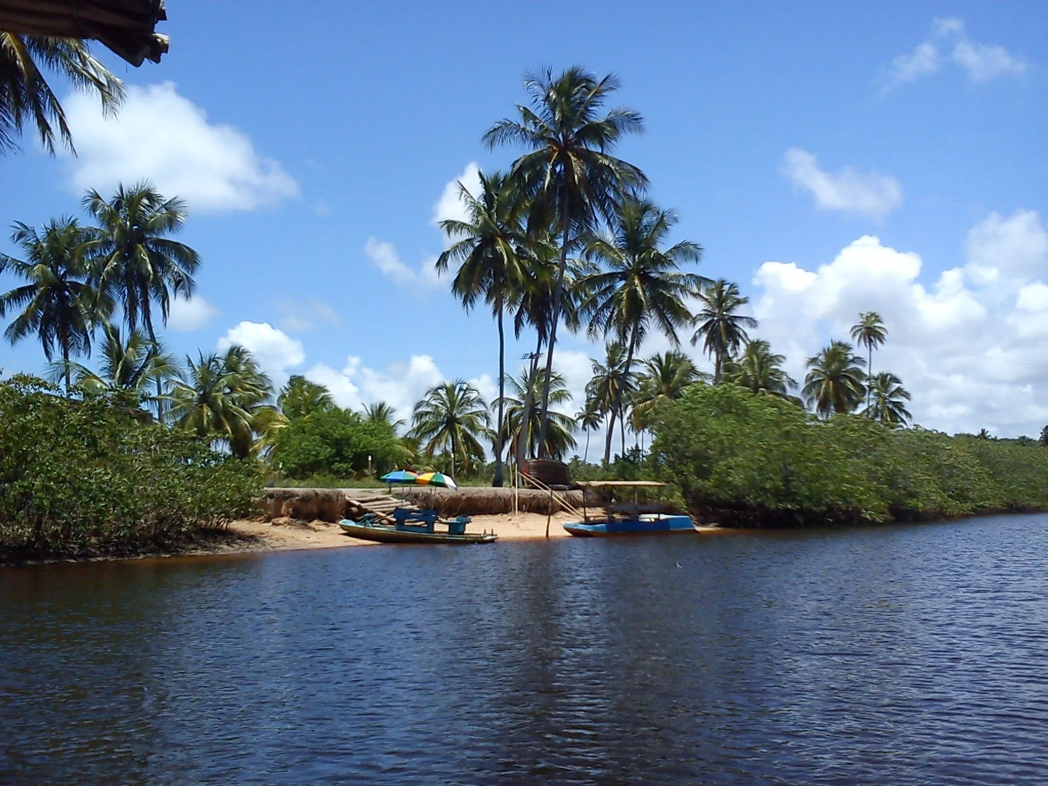
Mouth of the Tatuamunha River, in Porto de Pedras, with dark water, mangrove, coconut palms and tour boats on the bank.11
Nature

Manatee Tour on the Tatuamunha River

A motorless raft trip on the Tatuamunha River, in Porto de Pedras, guided by a community association that helps monitor the region's West Indian manatees.

Suggested time:1 hArea:Tatuamunha, Porto de Pedras (Ecological Route)
View details for Manatee Tour on the Tatuamunha River
Elevated view of the São Miguel dos Milagres coast, with coconut grove, open land and turquoise sea under a blue sky.12
Beaches

São Miguel dos Milagres and Toque Beach

An extension outside Maragogi: a village on the Milagres Ecological Route, with small inns, nearly empty beaches and the Toque Beach pools, reached by raft at low tide.

Suggested time:1 to 2 daysArea:São Miguel dos Milagres, Ecological Route (extension with overnight stay)
View details for São Miguel dos Milagres and Toque Beach

6-day itinerary

Day 1

Maragogi: the Galés and sunset at Antunes

  • 1Board on the downtown waterfront, at low-tide time
  • 2Galés de Maragogi by catamaran
  • Fish lunch on the downtown waterfront
  • 3Late afternoon at Antunes Beach
Day 2

Maragogi: the north coast

  • 4Moses' Path, in Barra Grande, an hour before peak tide
  • Lunch at one of the restaurants in Barra Grande
  • 5Afternoon in shallow water at Ponta de Mangue
  • Walk to Xaréu Beach
Day 3

Maragogi: Burgalhau at an easy pace

  • 6Morning in the shallow sea at Burgalhau Beach
  • Seafood lunch at Burgalhau
  • Free afternoon on the waterfront or at the inn
Day 4

Day trip: Carneiros Beach (PE)

  • Early departure toward Tamandaré, in Pernambuco
  • 7Carneiros Beach and the São Benedito Church
  • Barefoot lunch at Carneiros
  • Return to Maragogi before dark
Day 5

Extension: São Bento, Japaratinga and Patacho

  • 8São Bento Beach and raft to the Croa at low tide
  • 9Lunch at Barreiras do Boqueirão, Japaratinga
  • Manguaba River ferry to Porto de Pedras
  • 10Late afternoon at Patacho Beach
Day 6

Extension: manatees and Milagres

  • 11Raft on the Tatuamunha River with the Associação Peixe-Boi
  • 12Toque Beach pools at low tide
  • Lunch in São Miguel dos Milagres
  • Return to Maragogi or continue to Maceió airport

Map

10 places on the map

Practical tips

Tide table first

Build the trip around the tide table: the Galés and Moses' Path need a tide close to zero, and new moon and full moon weeks usually bring the lowest tides.

A car makes a difference

The northern beaches, São Bento, Japaratinga and the Ecological Route are spread out. With a car, you follow the tide schedule without depending on a tour; from the Recife and Maceió airports it is about two hours by road.

Manguaba ferry

The crossing between Japaratinga and Porto de Pedras greatly shortens the way to the Ecological Route, but it usually accepts cash only and forms a line on busy days.

Licensed boats

Buy the pool tour from licensed operators and confirm in writing which pool is included: Galés, Taocas and Barra Grande have different rules and limits.

Corals need care

The area is protected: do not step on the corals, do not feed the fish and follow the guide's instructions before entering the water.

Rainy season

From September to March the weather is usually steadier and the sea clearer; between April and August it rains more, usually in showers that do not take up the whole day.

Food and drink

In Maragogi, the menu follows the sea: fish of the day and seafood appear on the downtown waterfront, at Burgalhau and in the restaurants of Barra Grande, almost always served facing the same water you swam in that morning. On beaches with little infrastructure, such as Ponta de Mangue and Xaréu, the rule is to bring your own snack. On the Ecological Route, look for the family kitchens of Porto de Pedras.

Thin, long little fish served fried and crunchy, a classic snack at Alagoas beach tables, eaten by hand.

Fried fish in a generous portion, with rice, cassava and mash, a long lunch dish at the town's restaurants.

A small tapioca biscuit sold in packets in the village of São Bento, perfect for the road.

A frittata made with aratu, a small mangrove crab, served as a snack or lunch in the kitchens of Porto de Pedras.

Other cities in Brazil

View Brazil

Sources and credits

Sources

Image credits

Hey, cookies?

We use essential and measurement cookies to deliver an ever better browsing experience for you. Details in our Privacy Policy.

About your privacy

We measure how the site is used (pages viewed, time and where visits come from) with Google Analytics. It only turns on if you allow it, we do not use advertising and you can change your mind any time with the cookie icon. See the Privacy Policy.

Manage preferences

  • Necessary storage

    Keeps your theme, language and this choice on your device. The site does not work properly without it.

    Always active
  • Measurement cookies (Google Analytics)

    Show which pages and destinations are viewed most, without identifying you by name.

Search destinations