 1
History
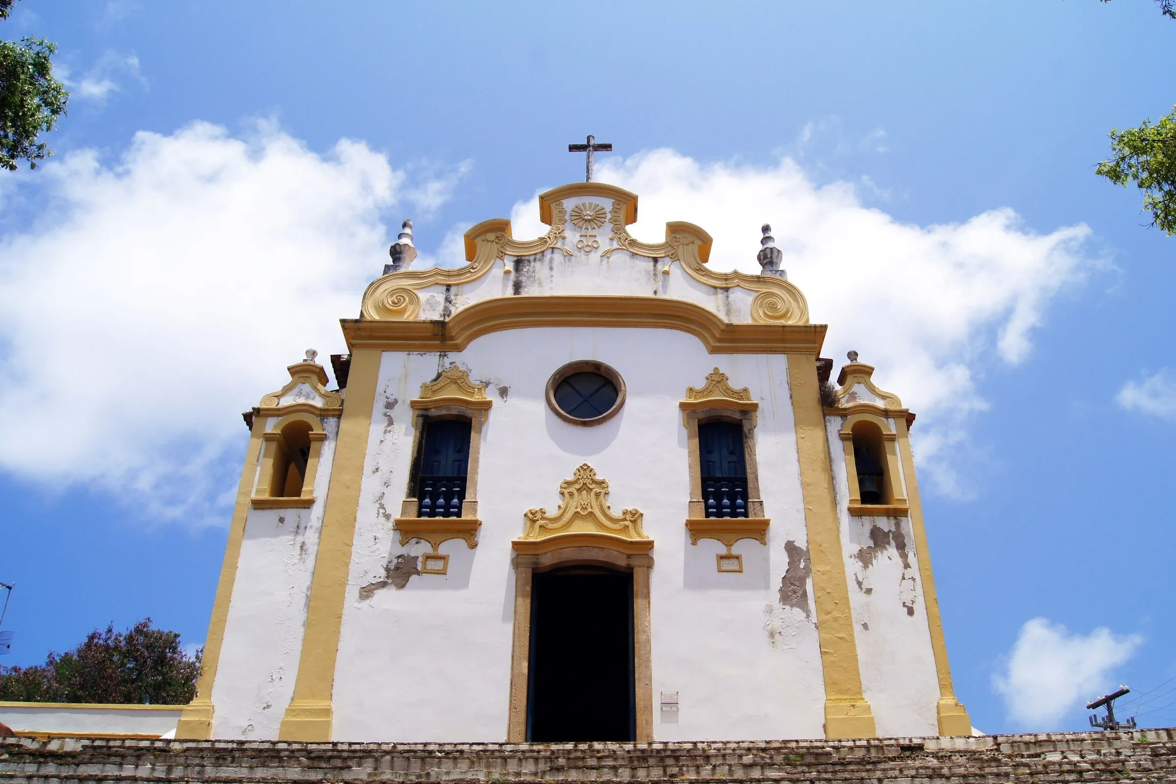
Vila dos Remédios
The oldest settlement in Noronha, with the Church of Our Lady of Remedies, from 1772, the São Miguel Palace and a lookout facing Cachorro Beach.
View details for Vila dos Remédios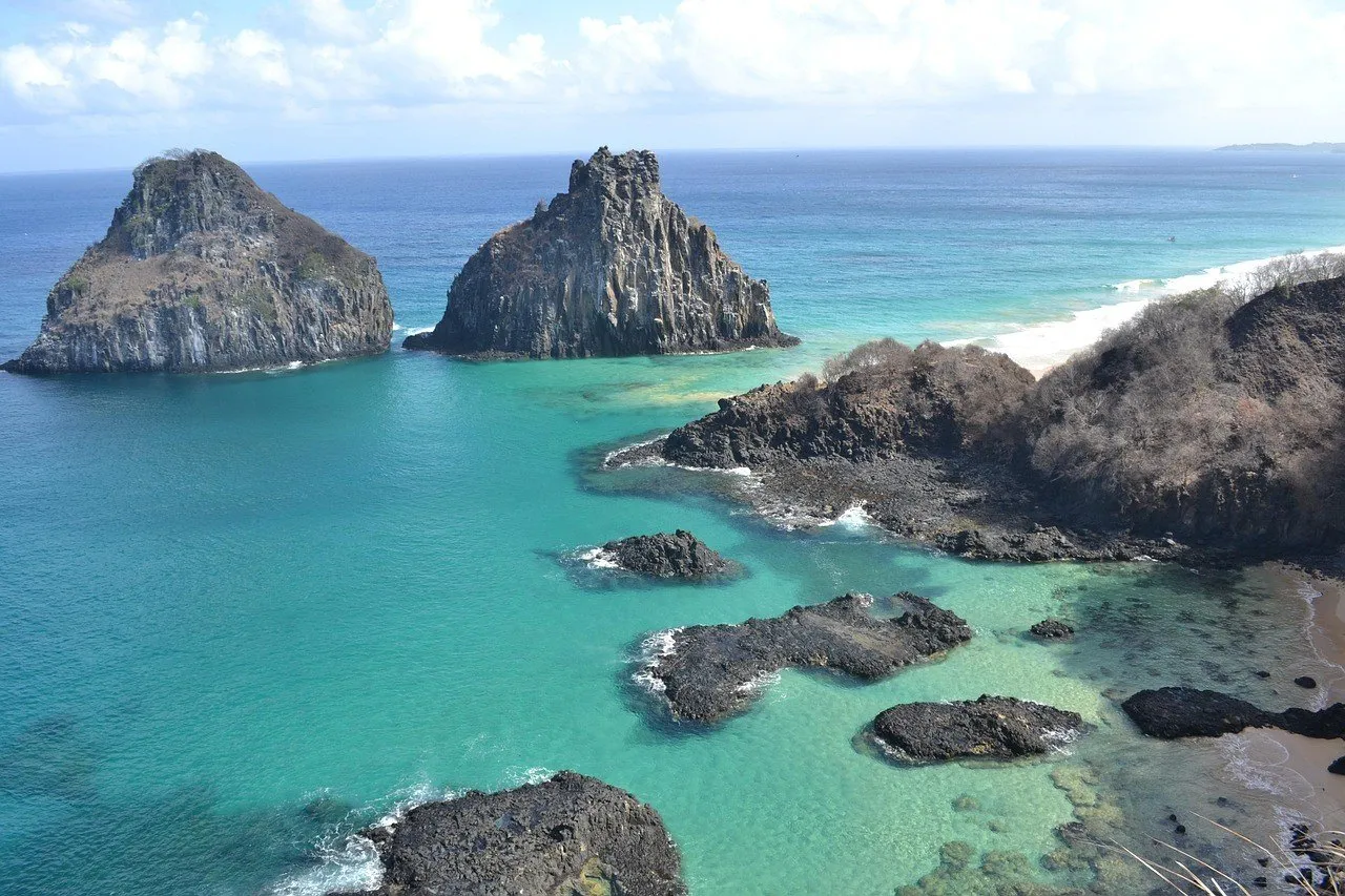
Brazil
At seven in the morning, at the Dolphin Bay lookout, nobody talks loudly: far below, hundreds of spinner dolphins glide in to rest, and every now and then one of them spins through the air for no apparent reason.
In Noronha, the first rule you learn isn't on any sign: the tide runs your schedule. The Atalaia pool opens according to the day's low tide, the trail to Pigs Bay follows the same window, and even the staircase at Sancho has a shift for going down and a shift for coming back up. The archipelago is made up of 21 volcanic islands and islets about 350 kilometers (about 215 miles) off the coast, is a state district of Pernambuco, and has much of its area inside the Marine National Park, created in 1988.
Almost everything happens on the main island, crossed by a single road, the BR-363, where the bus runs back and forth between Porto and Sueste. Vila dos Remédios, Conceição, Porto and Cacimba do Padre don't require the Park ticket. Sancho, Porcos, Leão, Atalaia and the dolphin lookout do, and the natural pools also require a reservation. Add the Environmental Preservation Fee, charged per day of stay, and the trip budget gets a line of its own, one that grows with every night on the island.
The surroundings here are the archipelago itself. The secondary islands can only be seen from a boat or while diving, because landing on them is not allowed, and the boat trip along the Mar de Dentro works as an extension of the trip. Rocas Atoll, which shares with Noronha the UNESCO World Heritage title since 2001, is a biological reserve closed to tourism, and Recife and Natal enter the plan only as flight stopovers. The itinerary in this guide covers four full days on the island, not counting arrival and departure.
The name honors, with a swapped spelling, the merchant Fernão de Loronha, who received the islands from King Manuel I in 1504, in the first hereditary captaincy of Brazil.
In World War II, the United States Army Air Forces built an airport on the island in 1942 to support the air route between Natal and Dakar.
The Projeto Tamar visitor center at Boldró was built from recycled shipping containers and reforestation wood, without using any of the island's sand or stone.
Eleven species of seabirds breed in Fernando de Noronha, part of the largest concentration of tropical seabirds in the Western Atlantic, according to the IUCN.
The island has its own time zone: UTC-2 all year round, with no daylight saving time.
1The oldest settlement in Noronha, with the Church of Our Lady of Remedies, from 1772, the São Miguel Palace and a lookout facing Cachorro Beach.
View details for Vila dos Remédios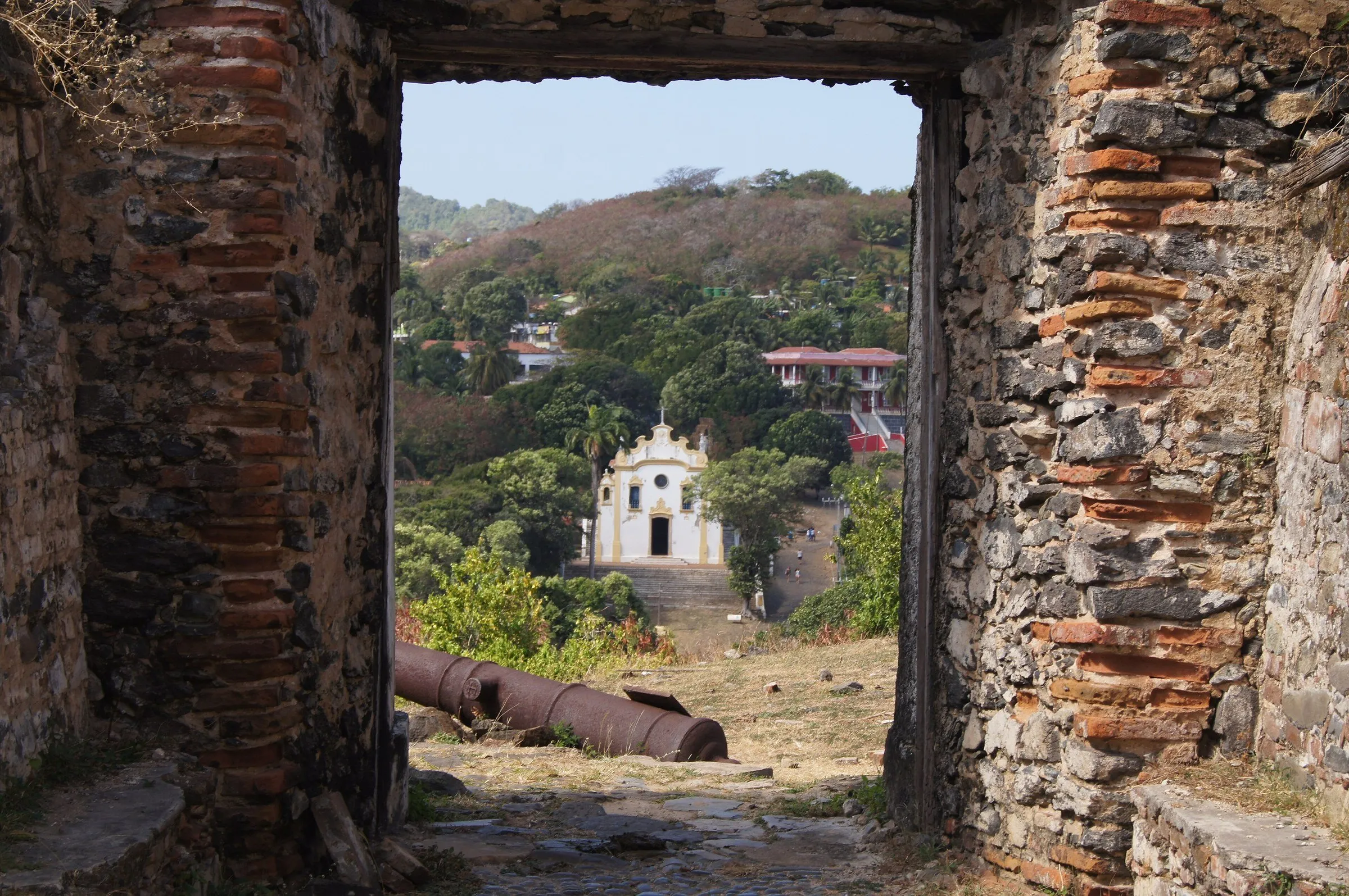 2
A fortress whose construction began in 1737, listed by Iphan, at the top of a short climb from the village, with wide views of Morro do Pico and the shoreline.
View details for Fort of Our Lady of Remedies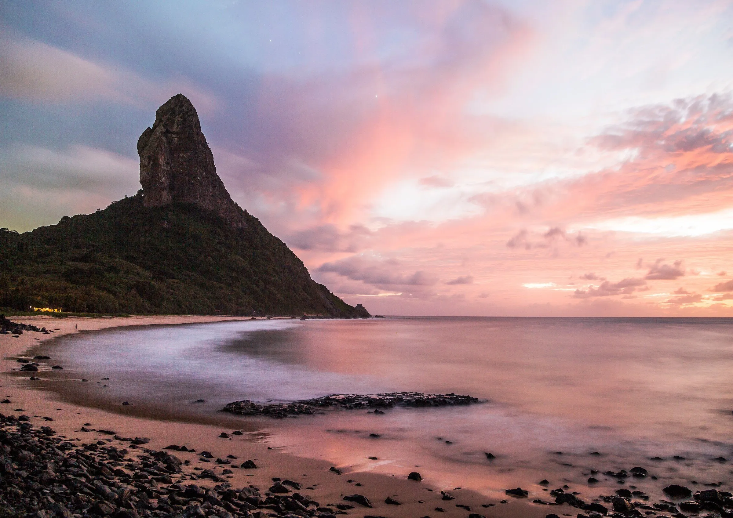 3
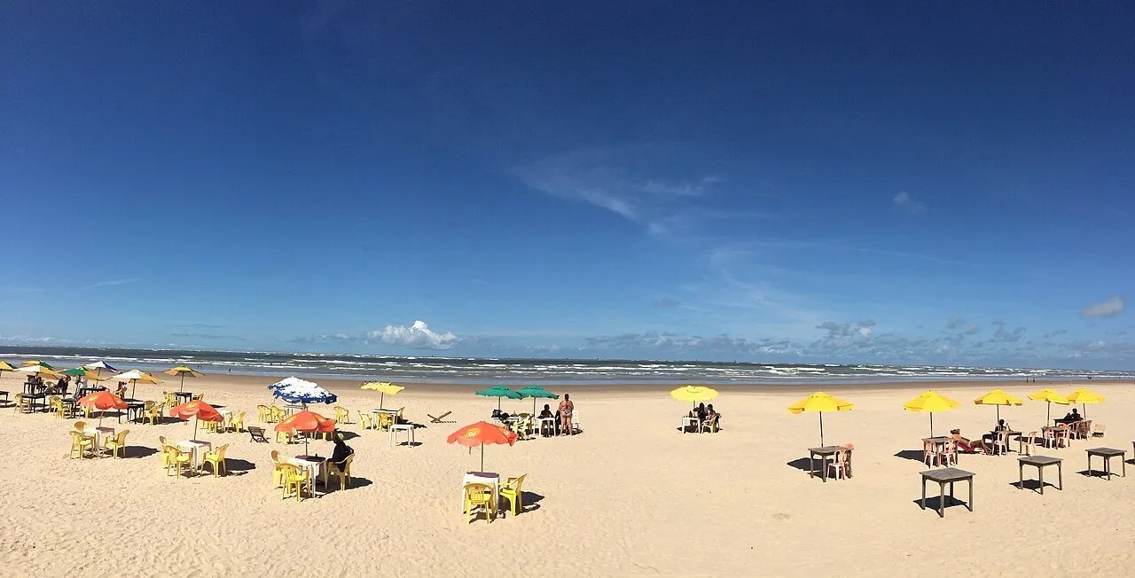
A long stretch of fine sand at the foot of Morro do Pico, the island's highest point at 323 meters. In the late afternoon it turns into a soccer field, a volleyball court and a sunset grandstand.
View details for Conceição Beach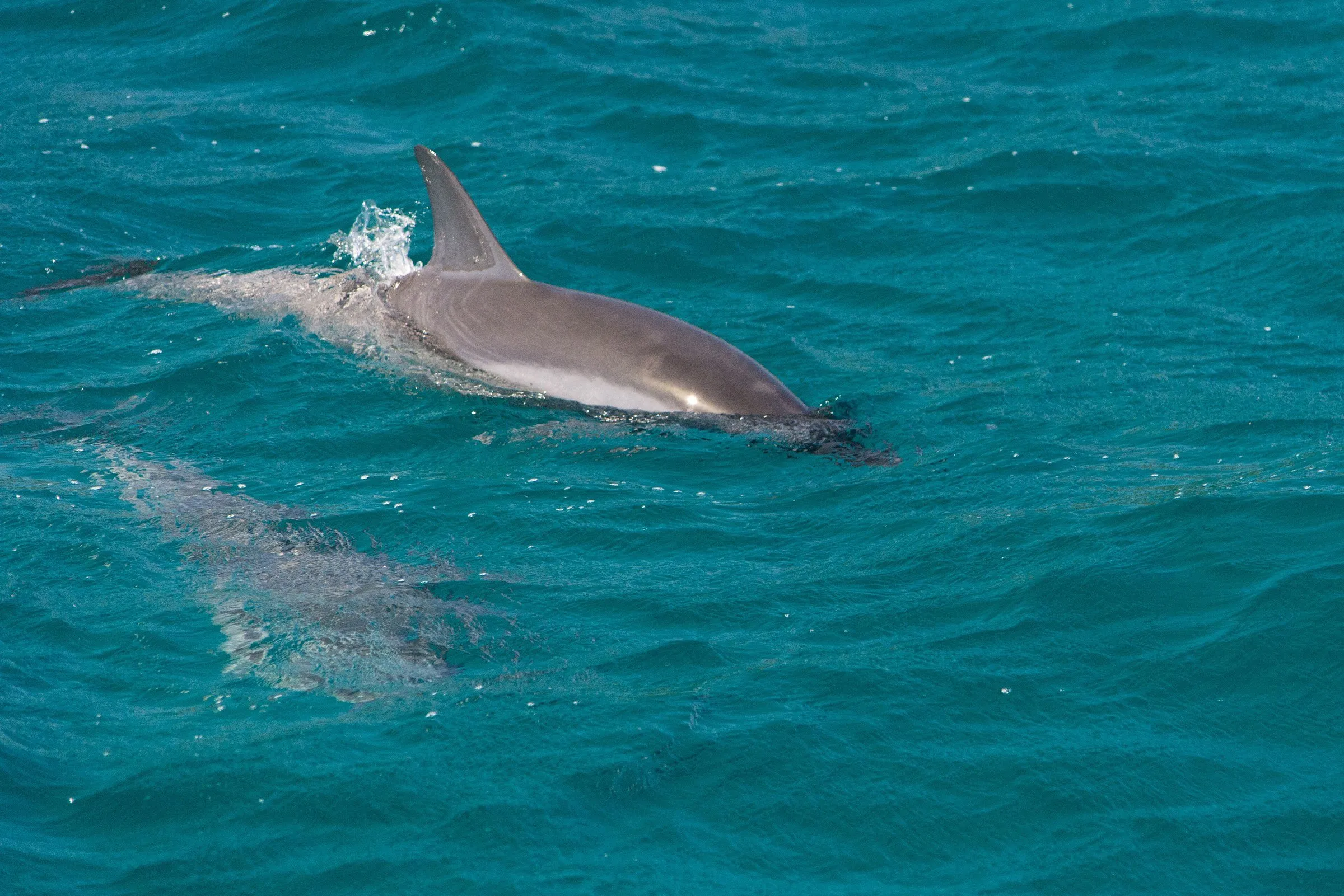 4
A lookout at the top of the cliff where, early in the morning, you can watch the spinner dolphins that enter the bay to rest. Nobody goes down to the water: here you look from above.
View details for Dolphin Bay Lookout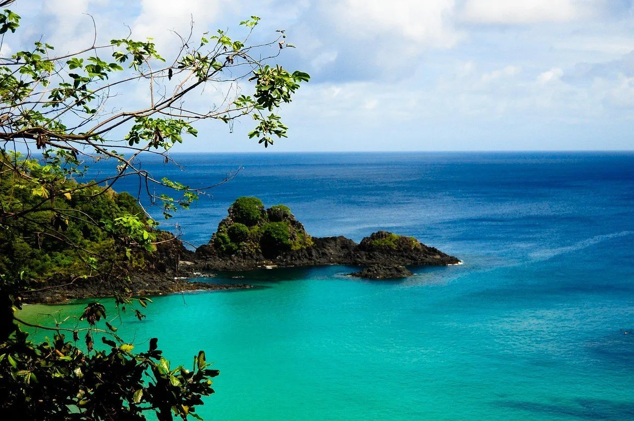 5
The beach that Tripadvisor users have voted the best in the world several times, reached by a ladder wedged into a rock crevice, with excellent water for snorkeling.
View details for Sancho Bay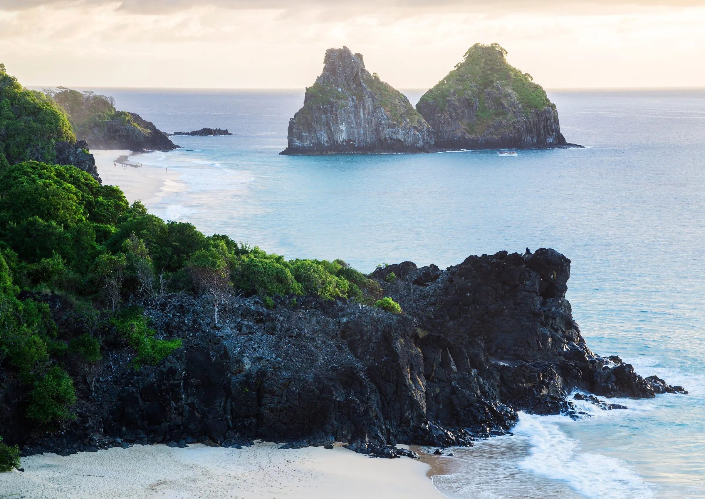 6
A lookout beside the ruins of the São Pedro do Boldró Fort, with Morro Dois Irmãos framing the sunset, a few steps from the Projeto Tamar visitor center.
View details for Boldró Lookout and Projeto Tamar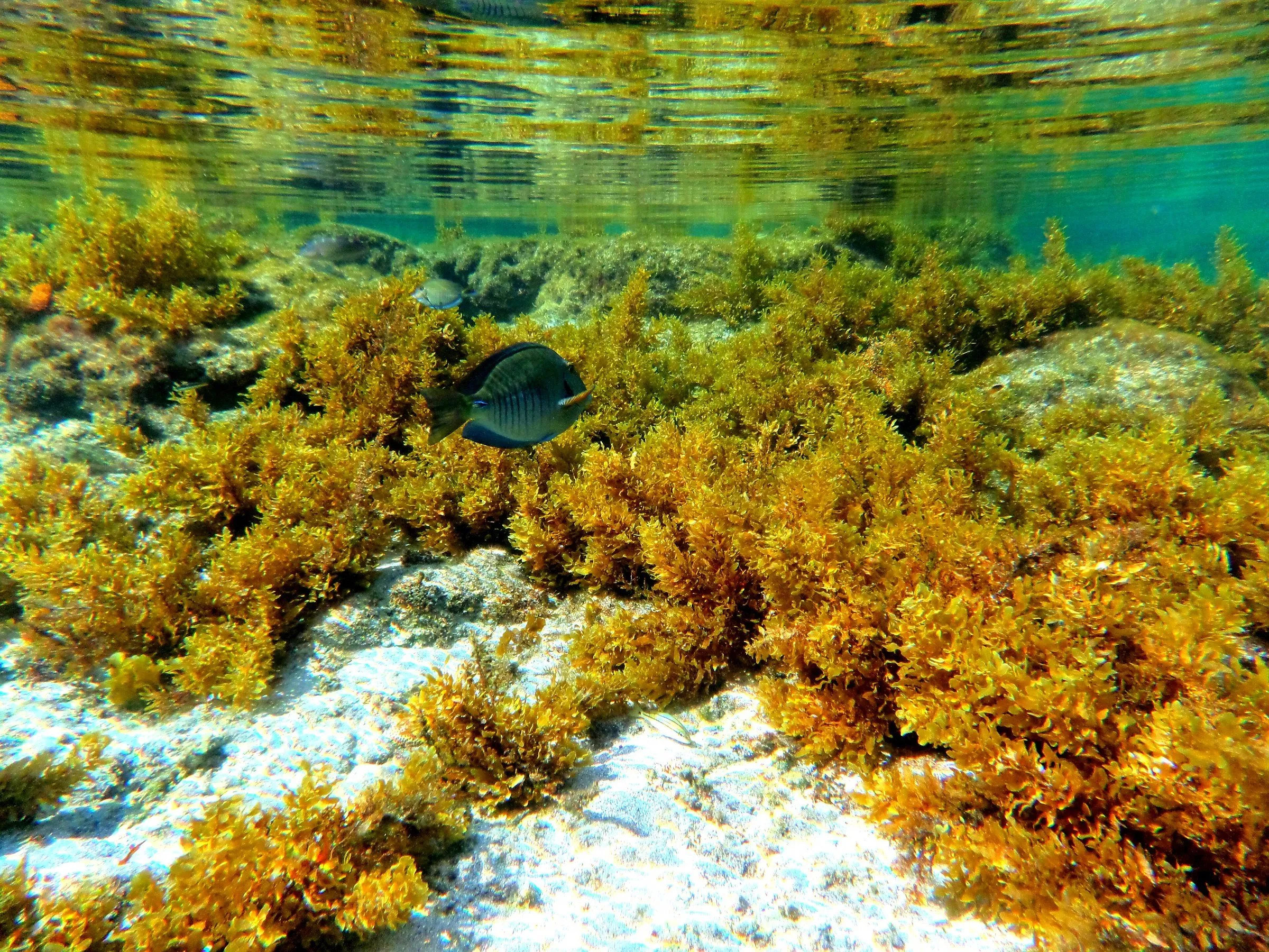 7
A natural pool visited by appointment, open only near low tide, where you float with a vest, mask and snorkel over corals and fish, without touching the bottom.
View details for Atalaia Natural Pool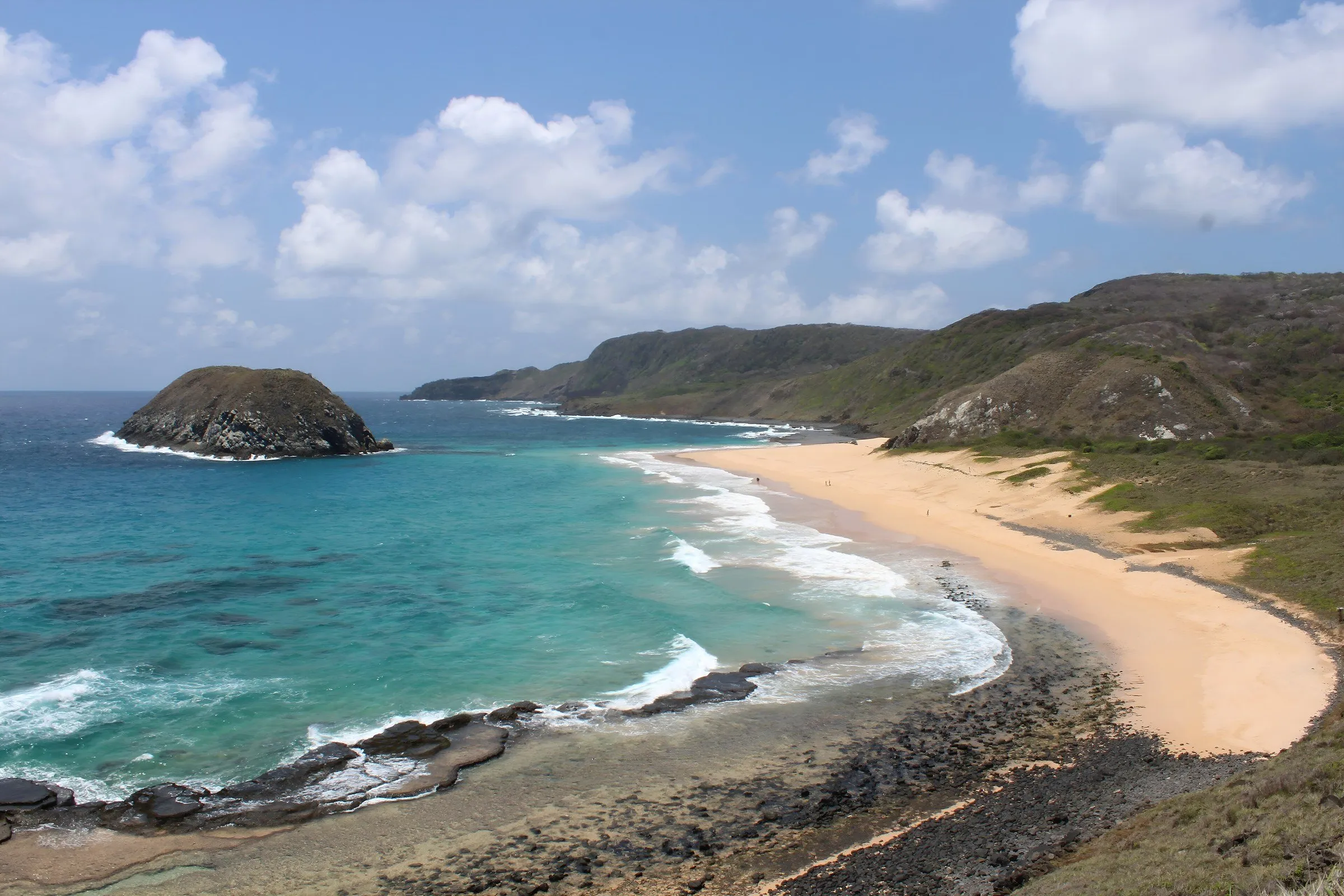 8
A wide, nearly empty beach, the island's main nesting area for green turtles between December and May, with islets just offshore and currents that call for care.
View details for Leão Beach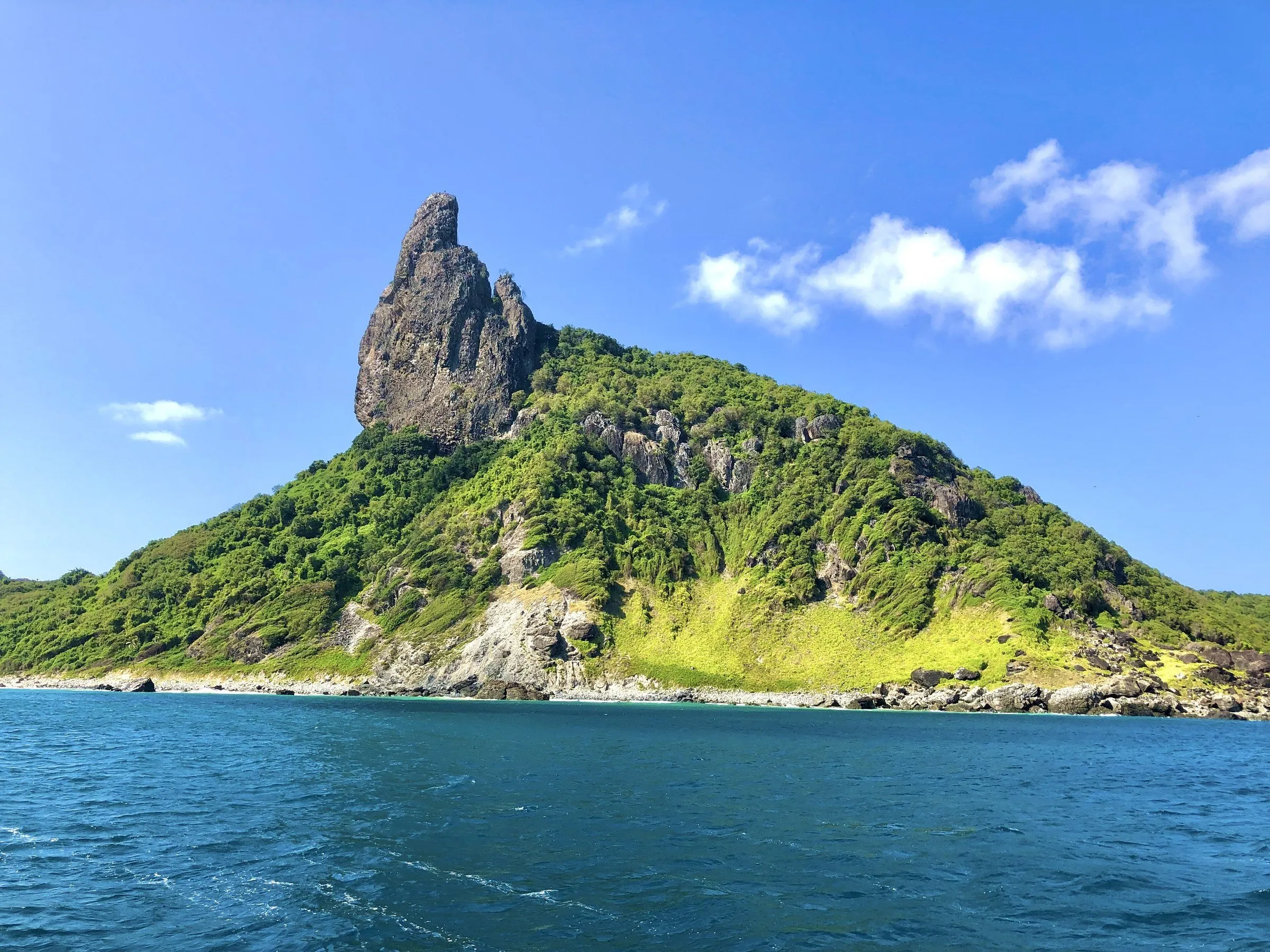 9
Departing from Porto de Santo Antônio toward the secondary islands and Ponta da Sapata, with a snorkeling stop at Sancho and a good chance of spinner dolphins along the way.
View details for Boat Trip Along the Mar de Dentro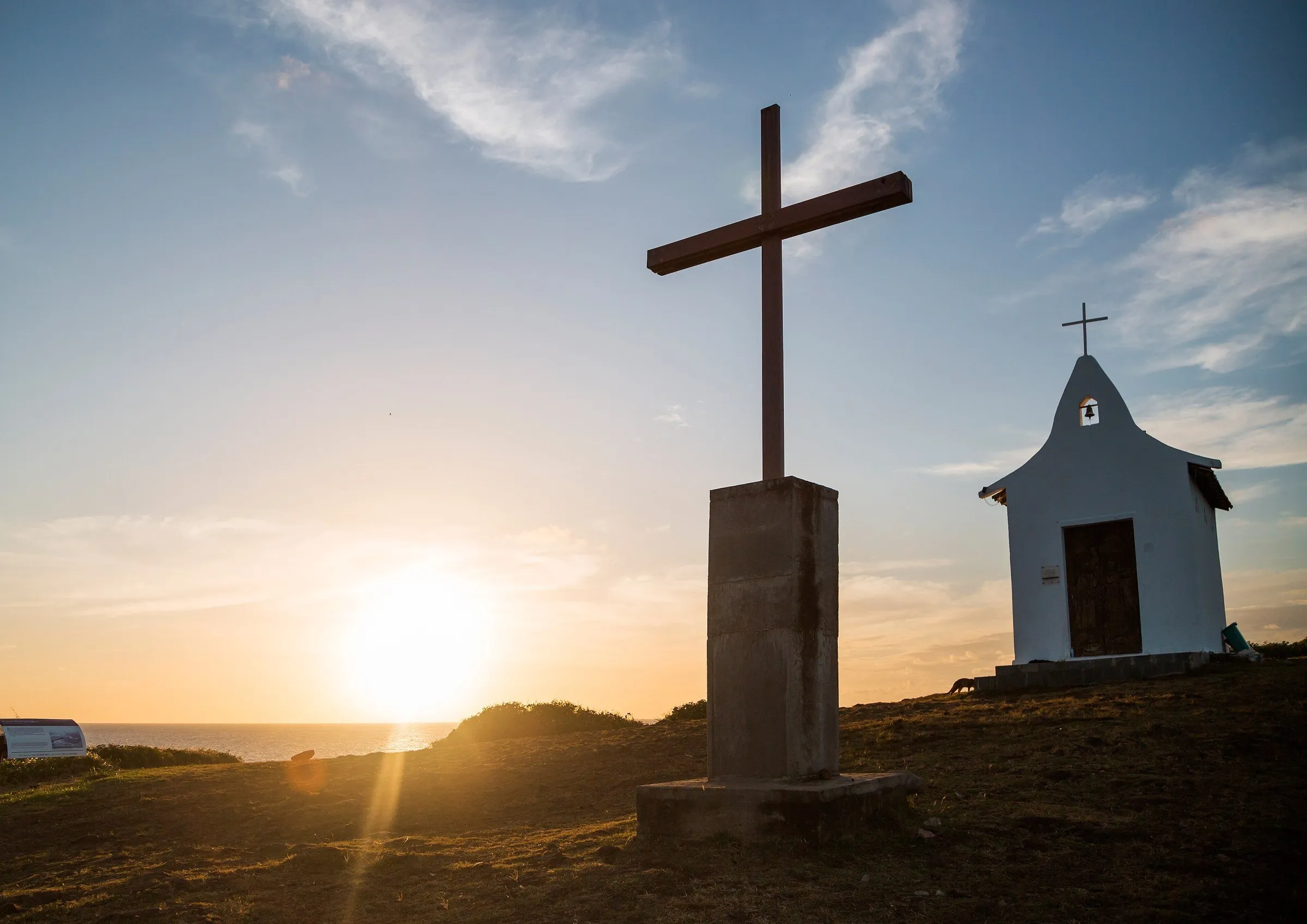 10
The busiest beach on the island, where the boats depart from, with a sunken Greek ship for snorkeling and the Chapel of São Pedro dos Pescadores at the top of the hill.
View details for Porto Beach and São Pedro Chapel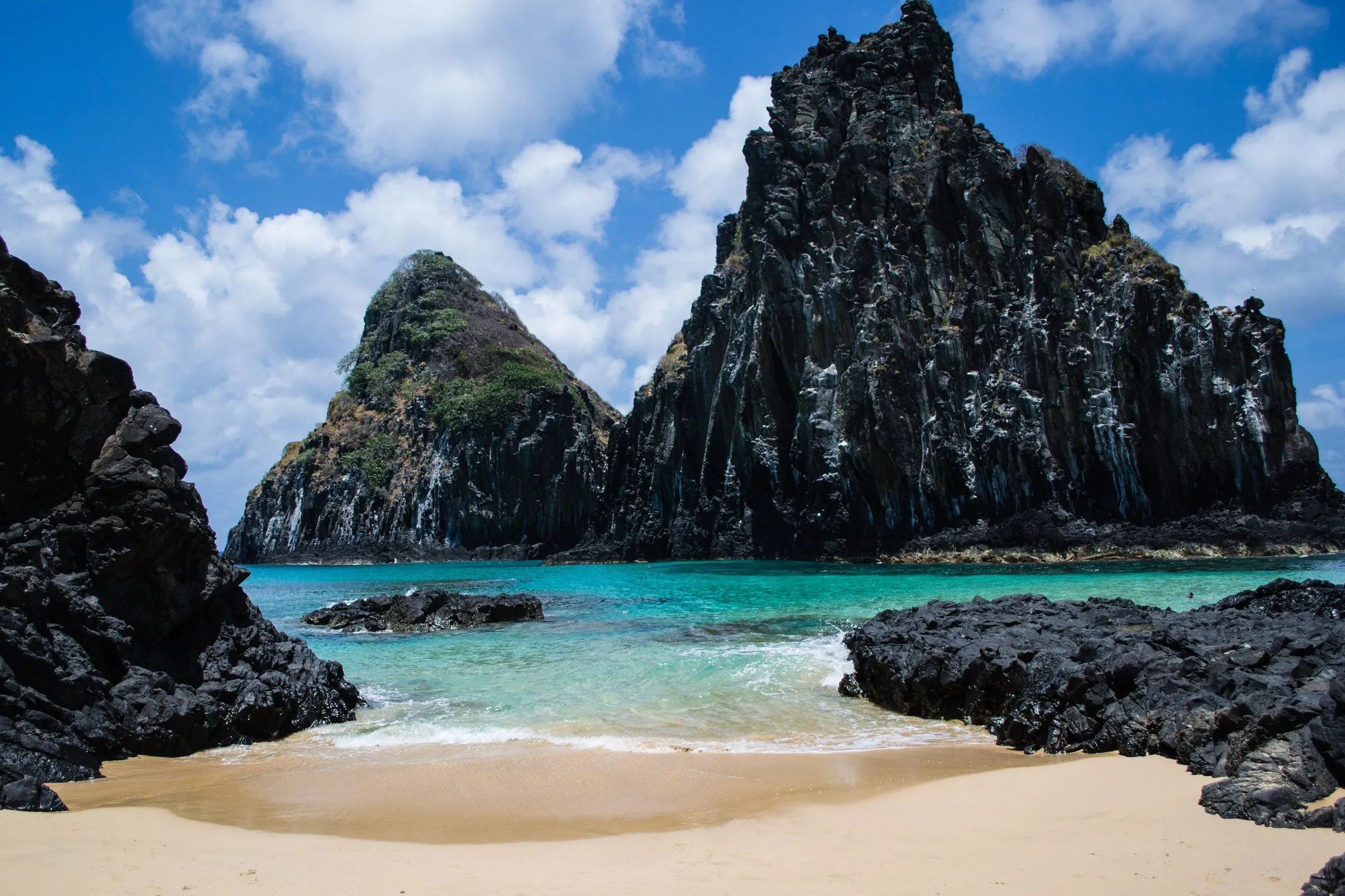 11
A wide beach facing Morro Dois Irmãos, stage for WSL surfing events, with natural pools at low tide and free access, no Park ticket needed.
View details for Cacimba do Padre Beach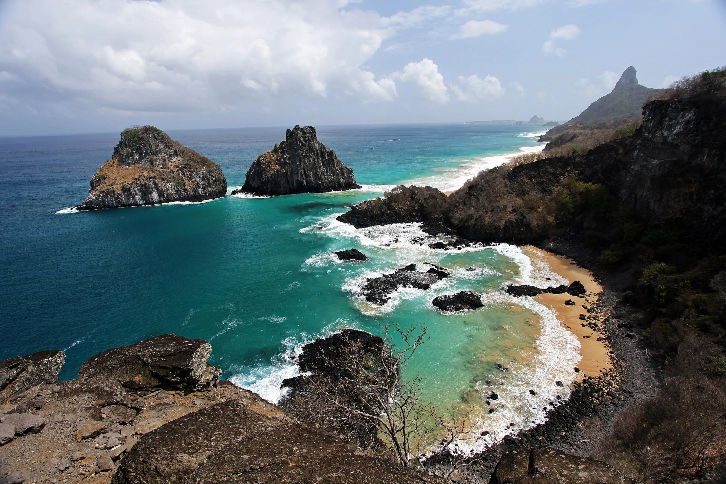 12
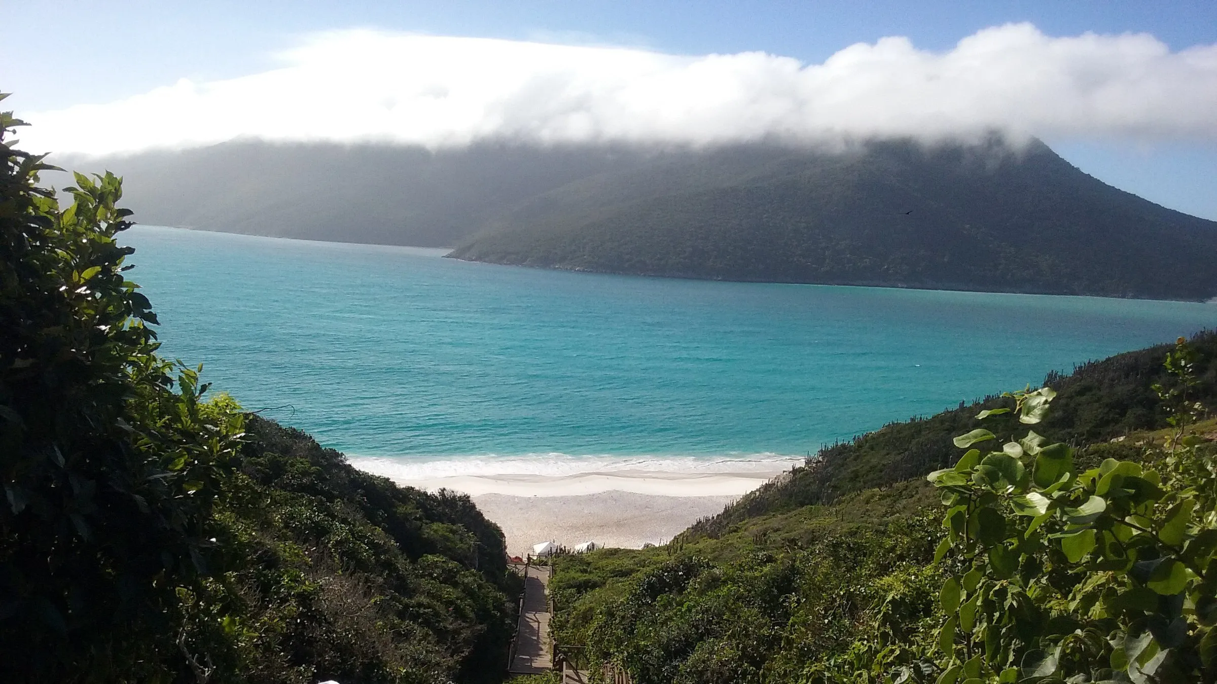
A small cove between rocks and cliffs, with Morro Dois Irmãos in the foreground and one of the Park's best snorkeling spots when the sea is free of swell.
View details for Pigs Bay1The white Church of Our Lady of Remedies, built in 1772, sits at the top of the village and works as a landmark for new arrivals: restaurants and shops of the island's most traditional center spread out around it. The settlement grew when Noronha was a prison, and the São Miguel Palace, a colonial mansion that now houses the district administration, keeps furniture and documents from that period.
Next to the church, a small lookout frames Cachorro Beach, the most urban on the island. On the right side of that beach you'll find the Buraco do Galego, a natural pool that fills up more or less depending on the time of year. It's the right outing for arrival day, while your watch is still getting used to Noronha's own time zone.
2The French occupied Noronha in 1736 and were soon expelled. Around the same time, in 1737, Portugal began building this fort on the hill beside the village. The construction went through several renovations and expansions over the centuries, was listed as heritage by Iphan in 1961 and received a restoration that recovered original spaces and rebuilt the chapel.
The climb is gentle, and from the top Morro do Pico appears in profile, with the shoreline sketched below. At the end of the afternoon, the fort becomes the audience for the sunset, and the best spots on the wall go to whoever arrives first. Combine it with the village in the same outing: they are a few minutes' walk from each other.
3First-time visitors to Conceição spend a good few minutes just staring at Morro do Pico, the 323-meter rock tower that dominates the horizon and is the highest point in Noronha. The sand is fine, the beach is long and the sea is usually calm enough for stand-up paddleboarding, except between December and March, when the swells arrive and surfers take over.
The beach lies outside the National Park, so nobody asks for a ticket. In the late afternoon, locals and visitors share the sand between ball games, volleyball and quick dips, until the sun goes down behind the Pico. Bar do Meio, on the headland between Meio Beach and Conceição, is another classic spot to watch the day end.
4The bay works as a dormitory: spinner dolphins come in during the morning to rest and, every now and then, one leaps out of the water spinning on its own axis, the jump that gives the species its name. Between 1991 and 2019, records counted an average of about 350 animals, present on more than 90% of days, according to the IUCN World Heritage assessment.
The lookout opens at 6:30 a.m., and researchers from the Spinner Dolphin Project are usually there early, with binoculars and explanations about the animals' behavior. Swimming and boating are not allowed in the bay: according to the project, the time dolphins spend there has dropped with boat traffic. From the trail between this lookout and the Sancho one, you can see Morro Dois Irmãos and Morro do Pico together.
5Getting to Sancho feels a bit like an obstacle course: after the trail, you climb down a sailor's ladder fixed in a narrow crevice in the cliff, one person at a time. Down below, the pale sand squeezes between tall walls of rock, and the water is so clear the fish seem to hang in the air. Tripadvisor users have chosen the bay as the best beach in the world in several years.
The ladder runs in alternating shifts for going down and coming up, so check the schedule board to avoid getting stuck on the beach, which, admittedly, wouldn't be the worst punishment. Snorkeling pays off more on the right side, with rays and schools of fish. If you'd rather skip the crevice, there is an elevated trail with accessible lookouts. The Sancho waterfall is closed due to the risk of falling rocks.
6At Boldró, half the island seems to have agreed on the same time. Beside the ruins of the São Pedro do Boldró Fort, the lookout faces the sea with Morro Dois Irmãos in the middle of the scene, and the sun sinks while the kiosk serves drinks and, on some afternoons, live music. Near the parking lot, vendors offer coconut water and açaí for the wait.
When it gets dark, head to the Projeto Tamar visitor center, on Alameda do Boldró. Admission is free, there are replicas of the five species of sea turtles found in Brazil, and the environmental lecture series, running since 1996, fills an auditorium for 90 people, with topics such as turtles, dolphins and seabirds.
7At Atalaia, the moon sets the time. Visits happen near the peak of low tide, which changes every day, and daily spots are limited by a carrying-capacity study, because there is coral under the sand. The trail is about 3 kilometers round trip, around 30 minutes each way, and ends at a shallow pool where fish pass within centimeters of your mask.
The rules are few and firm: vest, mask and snorkel are mandatory, no standing, kneeling or leaning on the bottom, and no sunscreen or cosmetics before the swim. If you want more, you can take on the long version, Atalaia-Pontinha-Caieira, about 6 kilometers, half of it over rocks, always with a guide accredited by ICMBio.
8This beach is the reason the Marine National Park came to exist: according to Projeto Tamar, Leão, the island's main turtle nesting area, gave rise to the park created in 1988. Between December and May, this is where green turtles come ashore to bury their eggs, and the long stretch of sand usually has far fewer people than the beaches on the other side of the island.
The sea is impressive and deceptive: the current is strong, and ICMBio itself asks for caution before entering the water. Walking on the reef ledges or climbing the islets of Viuvinha and Morro do Leão is not allowed. Through the same gate you reach the Ponta das Caracas Lookout, which shows the beach from above, with the secondary islands, seabirds and a beautiful sunset.
9It's the way to see what the road doesn't reach. The boat leaves Porto de Santo Antônio, passes the archipelago's secondary islands, where landing is not allowed, and follows the Mar de Dentro coast to Ponta da Sapata. Along the way, there's a good chance that spinner dolphins will show up near the hull, but nobody can promise it: they keep their own schedule and don't take reservations.
The snorkeling stop is usually at Sancho, where only four boats can be there at the same time. Only authorized companies operate, the Park ticket is required and boats must keep alongside dolphin groups without getting close. For those who want to go deeper, accredited operators offer scuba diving at spots such as Pedras Secas, Ilha do Meio, Cagarras and Ressurreta.
10At Porto, Noronha goes to work: the pier never stops, with tour boats, scuba diving and Hawaiian canoes coming and going all day. The bay's clear water holds the Eleani Stathatos, a sunken Greek ship that can be explored by snorkel or with a tank, and which forces larger vessels to anchor about 500 meters from the pier.
The ruins of Santo Antônio Fort, the first fortification on the main island, gave the area its name, which lies outside the Park and needs no ticket. At the top of the hill, near the Air France Lookout, the small Chapel of São Pedro dos Pescadores stays closed most of the time, but it is a popular wedding setting and a good sunset spot. On a full-moon night, stay to watch the moon rise over the bay.
11Between December and March, Cacimba do Padre changes mood: the swell arrives, the barrels appear and the beach becomes a championship arena, such as the Hang Loose Pro Contest, a stop on the WSL circuit. Outside the wave season, the same wide stretch of sand is good for a relaxed swim, with natural pools forming at low tide.
It's the last beach before the National Park limits, so nobody asks for a ticket. Access is by a path of about 1.3 kilometers from the BR-363, where the bus stops. There is almost no natural shade, but chairs and umbrellas are available for rent. On the left side begins the trail to Pigs Bay, and Morro Dois Irmãos stands right in front, ready for the photo.
12Pigs Bay is small and full of details: dark rocks, light green water and Morro Dois Irmãos so close it looks like painted scenery. You get there by a trail that starts at the left end of Cacimba do Padre, and access follows the low-tide window. With a swell-free sea, it is one of the best places in the Park for free diving, with turtles and rays among the residents.
Since November, the area on the left side of the beach has been closed because of the risk of falling cliff rocks, following guidance from the Brazilian Geological Survey, and the natural pool on the left platform is off the itinerary. Swimming in the rest of the bay is still allowed. There's no restaurant or kiosk nearby: bring water and a snack.
The Environmental Preservation Fee is charged per day of stay, a little over R$ 100 per day in 2026, and goes to the island's administration. The Marine National Park ticket is a separate cost: it runs to a few hundred reais, has a discount for Brazilians and is valid for 10 days.
Atalaia and the other natural pools require a reservation, with limited daily spots and a time set by low tide. Once the ticket has been used, booking is done in person, at the Boldró Visitor Center.
A single road, the BR-363, crosses the island, and the bus runs between Porto and Sueste. There are no ride-hailing apps: the alternatives are taxi, rented buggy and electric bike.
In the natural pools, sunscreen and cosmetics are banned before the swim. A UV-protection shirt and a hat work better than the bottle.
From March to July, rain turns the trails muddy, and ICMBio asks you to arrive at least 30 minutes early. Between January and May, swells usually stir up the sea: ask the lifeguards before going in.
In the Park, touching, feeding or chasing animals is prohibited, and drones only fly with a research permit. This applies to turtles, dolphins, fish and even the bird that approaches your snack.
At the Noronha table, the sea leads the line: roasted fish, moqueca and grilled lobster appear on many menus, alongside Northeastern classics such as carne de sol (cured, sun-dried beef). At night, the best-known outing is the Zé Maria Gastronomic Festival, a generous buffet served on fixed nights of the week, which usually requires a reservation in advance. In daily life, tapioca handles breakfast and the snack between one beach and another.
Fish slow-roasted wrapped in banana leaf, arriving at the table moist and fragrant. Common in the island's restaurants.
A Northeastern classic that also shows up in Noronha, served with fried cassava on the side.
Cassava starch crepe filled on the spot, sweet or savory: the right fuel before a trail.